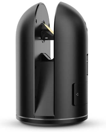
Leica Geosystems

Leica ScanStation P50 3D Laser Scanner

Price €0.00

Leica GeosystemsLeica P-SeriesReality Capture Leica ScanStation P50 3D Laser Scanner

Call for price
01 627 0975

3D Scanning Leica P50 up to 1KM range

Spec Videos Brochure

The right choice


Whether you 3D capture the world tallest buildings, document the widest infrastructure objects or scan the biggest open pit mines, you know long range scanning will be essential for your job. Adding long range scanning capability to the market leading ScanStation P-series, the new Leica ScanStation P50 is the right choice, because every detail matters.

Scan inaccessible places

The Leica ScanStation P50 delivers highest quality 3D data and HDR imaging at an extremely fast scan rate of 1 mio points per second at ranges of > 1 km. Unsurpassed range and angular accuracy paired with low range noise and survey-grade dual-axis compensation form the foundation for highly detailed 3D colour point clouds mapped in realistic clarity.

High performance under harsh conditions

The extremely durable new Leica ScanStation P50 performs even under the toughest environmental conditions, such as under extreme temperatures ranging from -20C to + 50C and complies with the IP54 rating for dust and water resistance.

Complete scanning solution

Leica Geosystems offers the new Leica ScanStation P50 as an integrated part of a complete scanning solution including hardware, software, service, training and support. 3D laser scanner data can be processed in the industry leading 3D point cloud software suite, which consists ofLeica Cyclonestand-alone software,Leica JetStream,Leica CloudWorxplug-in tools for CAD systems and the cost-freeLeica TruView.

Leica ScanStation P50 delivers:

  • Highest quality 3D data and HDR imaging
  • Extremely high-speed scan rate of 1 mio points per second
  • Ranges of up to 1 kilometre
  • Low range noise
  • Survey-grade dual-axis compensation

You May Also Like