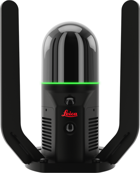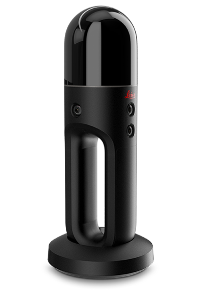
Leica BLK2FLY


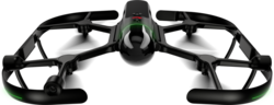
BLK2FLY autonomous flying laser scanner
- Allows you to scan hard-to-reach areas like building facades and rooftops
- Autonomously captures complete scans of building exteriors to create 3D digital twins
- GrandSLAM sensor fusion of LiDAR, radar, cameras, and GNSS for complete scan coverage, optimized flight paths, and shortest return to home
- Advanced obstacle avoidance for superior flight safety
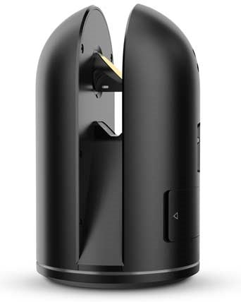
- Hot swap battery system
- Lightweight, portable, easy to use
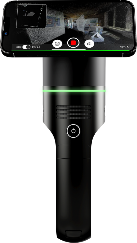
Users control the BLK2FLY through the BLK2FLY Live App on a tablet for simplified, app-based flying with no need for prior UAV experience. This allows for easy, intuitive control of the BLK2FLY, including live camera feed. You can select an area within the map on your tablet and the BLK2FLY will create its own flight path to scan it quickly and safely. You can also tap-to-scan: simply send the BLK2FLY to scan a new area by tapping anywhere on the 3D view in the app.
The BLK2FLY Live App also allows you to pilot the BLK2FLY manually with virtual joysticks on your tablet. This critical safety feature always keeps you in control. And for connectivity, the BLK2FLY includes WLAN and LTE communication channels to the tablet for nearly unlimited communication range during flight.
The BLK2FLY makes it easy to get your data into your preferred software and to share your scans with others. It also works seamlessly with other Leica Geosystems sensors and software. You can directly upload your data to HxDR with automatic conversion to OBJ and cloud-based visualization, and also allow others to access and work with your data, including data download, via HxDR. Or transfer your data to Leica Cyclone REGISTER 360 with USB-C or WLAN for scan-to-BIM workflows.
You May Also Like